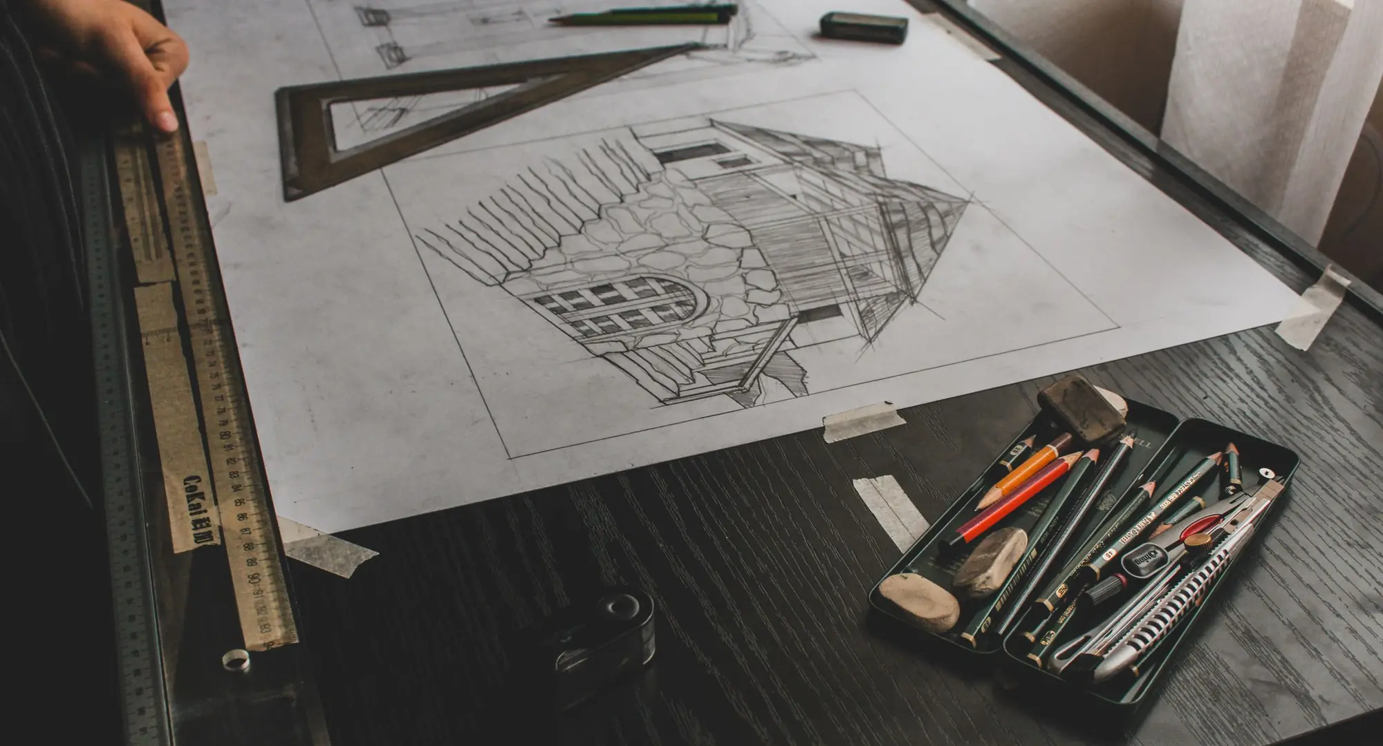
Which drawings does a householder planning application need?
A London householder application usually needs a location plan, a block plan, existing and proposed floor plans, and existing and proposed elevations, with a roof plan and sections added when the roof shape or levels change, or the council’s list asks. The national position is set out in GOV.UK planning guidance on making an application, and each council adds its own local list on top.
The drawings sit alongside the application form, the right ownership certificate and the council’s fee. They tell the planning officer what exists today and what will be there afterwards. Not sure the project needs permission at all? Our sister site explains how to tell in a plain-English guide on whether you need planning permission.
| Drawing | What it shows | Usual scale |
|---|---|---|
| Location plan | Where the house is, with the site outlined in red | 1:1250 or 1:2500 |
| Block plan (site plan) | The house and extension on the plot, boundaries and access | 1:200 or 1:500 |
| Existing floor plans and elevations | The house as it stands | 1:50 or 1:100 |
| Proposed floor plans and elevations | The house as you want it | 1:50 or 1:100 |
| Roof plan | The new roof shape, where it changes | 1:50 or 1:100 |
| Sections | Heights and levels, where they change or the council asks | 1:50 or 1:100 |
What do the location plan and block plan show?
The location plan shows where the property sits and the block plan shows the house on its plot. The land you are applying for is outlined in red, other land you own beside it in blue, and the national guidance asks for a north point and a location plan at 1:1250 or 1:2500, as set out in GOV.UK guidance.
Block plans are usually asked for at 1:200 or 1:500 (see, for example, Waltham Forest’s validation checklist). Our guide to the location plan and block plan covers both sheets in full.
What should the floor plans and elevations show?
Floor plans show every level of the house in plan view, and elevations show each face of the building as you would see it standing in front of it. For a householder application you usually need both for the house as it is now and as you propose it. Councils usually ask for 1:50 or 1:100, and some ask for a scale bar on each sheet, as in Waltham Forest’s checklist.
Each floor plan should label the rooms and show walls, windows and doors, with anything to be removed or added made clear. A reader should be able to lay the existing plan beside the proposed one and see what has moved.
Elevations carry the facts a planning officer judges by eye: roof pitch, ridge height, window positions and the materials you plan to use. If the new work is close to a neighbour, the side elevation is the sheet they will study hardest.
One set of drawings has to agree with itself, because a window on the proposed floor plan must appear in the proposed elevation. Planning Drawings, a trading name of Property Architecture Ltd, models the house in 3D so the plans, sections and elevations come from one source, and a second MCIAT chartered architectural technologist checks every sheet before it goes to the council.
Do single-storey and double-storey extensions need different drawings?
The sheets are the same, but a double-storey extension needs more of them to be clear, and it faces tighter limits if you hope to avoid an application. A single-storey rear (ground floor) extension is usually described by the ground floor plan, the rear and side elevations, and the block plan showing how far it projects from the original rear wall.
A house extension over two storeys adds a first floor plan, a roof plan and, in our advice, a section, because the officer will want to see ridge height, the eaves and the effect on the neighbours’ windows. Neighbour impact is often a key point a council weighs on a second storey.
Permitted development also treats the two differently: Schedule 2, Part 1, Class A of the General Permitted Development Order sets separate limits on depth, height and distance from the boundary for single-storey and taller rear extensions. If your project fits those limits, a certificate rather than a full application may be an option; see our guide on lawful development certificate drawings.
When do you also need a roof plan or sections?
Under article 7 of the Development Management Procedure Order 2015, an application must include a plan that identifies the land and any other plans, drawings and information necessary to describe the development. A roof plan is needed when the roof shape changes, and a section when heights or levels change in a way the plans and elevations cannot show.
Loft conversions, dormers and two-storey additions are the usual cases. A section is a slice through the building that shows floor-to-ceiling heights, roof build-up and ground levels. The council’s validation list says what “necessary” means in practice.
Our advice is to include a section whenever the design involves a change of level, a sloping site or a roof alteration, even if the list is vague. A missing sheet can stop an application being registered, and an extra sheet costs little.
Do you need a measured survey before the drawings?
For anything beyond a very small job, yes: accurate existing drawings come from a measured survey, and the proposed drawings are built on them. Old estate agent plans and the plans from your last purchase are rarely accurate to the centimetre, and the council can compare your existing drawings with its own records and with what the officer sees on site.
A measured survey records the rooms, wall thicknesses, levels, boundaries and the position of the neighbours’ windows from one reference point. The existing floor plans and elevations are drawn from it, and the new design is drawn over them.
The survey is a separate fee from the drawings. The measured building survey is published from £150, no VAT to add, and the drawings follow about 7 days after the survey. Our guide to the measured survey for an extension explains what the surveyor records.
Does my council ask for anything extra?
Yes: every London council publishes its own validation list, and the list wins over any general checklist, this one included. A borough might ask for a heritage statement in a conservation area, a tree survey where trees stand near the work, or a flood risk document in a flood zone. These are separate documents rather than drawings, but they travel with the set.
The practical step is to read your council’s list before drawing anything and to match each item against the sheets you hold. Two slips to check for are a plan at the wrong scale and an elevation set that does not match the floor plans.
The planning set also ends where construction detail begins. Planning drawings show the council what the building will look like and where it will stand, and the detailed construction drawings for building control are a separate set, covered in our guide to planning drawings versus building regulations drawings.
The planning permission drawings service starts from the published fee for a householder application: £515 drawings + £150 survey (£665 total). The council’s application fee is paid to the council separately.
Questions homeowners ask about planning drawings
Can I draw my own plans for planning permission?
Yes. Neither the national rules nor the guidance require a qualified person to draw them, and the council checks that the sheets meet its list and are clear and to scale. The drawings must still be accurate and consistent, because a mismatch between plans and elevations can stop an application being registered.
Source: GOV.UK: Making an application
Do I need drawings for permitted development?
You do not apply for planning permission for permitted development. Two cases still send drawings to the council: a Lawful Development Certificate, if you want written confirmation, and prior approval, which a larger rear extension needs. Our guide to lawful development certificate drawings covers what to send.
What scale should floor plans and elevations be?
Councils usually ask for 1:50 or 1:100, and Waltham Forest’s list also asks for a scale bar. Every sheet should state its scale and ideally show a scale bar, so it still reads correctly if the print size changes. Location and block plan scales are in our location plan and block plan guide.
Source: Waltham Forest: Validation Checklist 2025 · GOV.UK: Making an application
What happens if my drawings are missing something?
The council will tell you the application cannot be validated and what to add. A valid application is treated as received only once the documents and the fee have been lodged, so the decision period does not start until then. Send the missing sheet or a corrected one, and the council can then register it.
Sources
- GOV.UK: Planning guidance, Making an application
- Waltham Forest: Validation Checklist 2025 (example council list)
- legislation.gov.uk: Town and Country Planning (Development Management Procedure) (England) Order 2015, article 7
- legislation.gov.uk: Development Management Procedure Order 2015, article 34
- legislation.gov.uk: General Permitted Development Order 2015, Schedule 2, Part 1, Class A
About the author. Ben Shaukat is Managing Director of Property Architecture Ltd, which trades as Planning Drawings.
Published by Planning Drawings. Checked against the sources above on . Planning rules change; check your council before you build.